
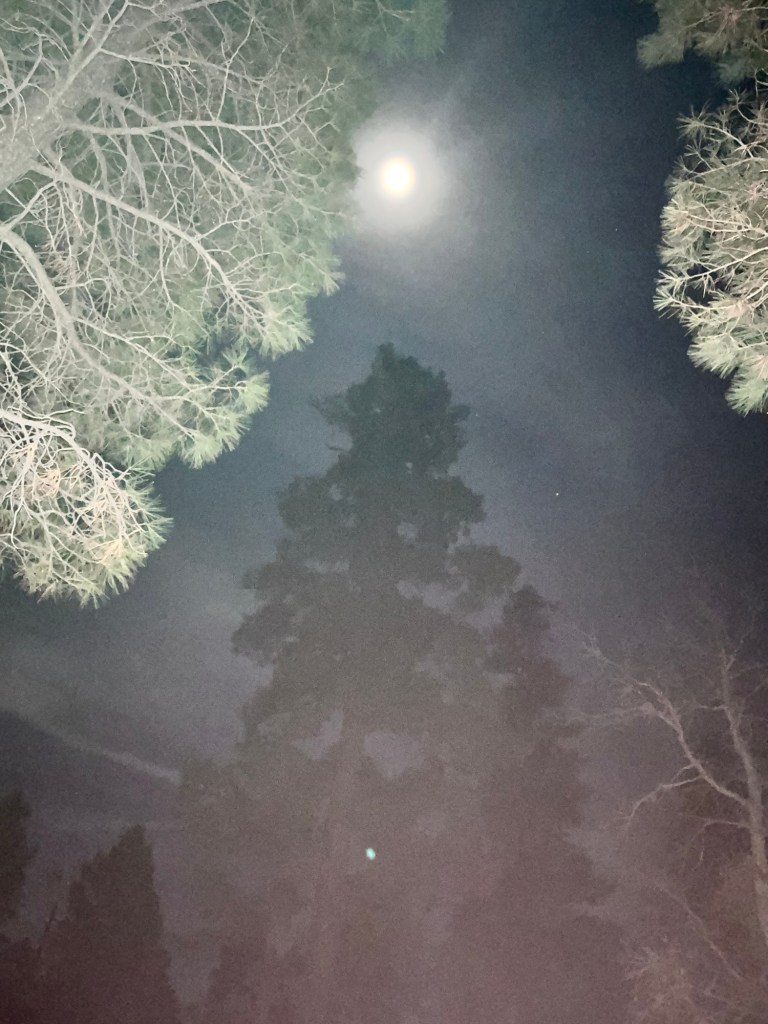
Finally Rocking and Rolling and Then….
March 26 – March 29
Miles hiked: 40.8
Total miles hiked: 158.3 in 9 hiking days
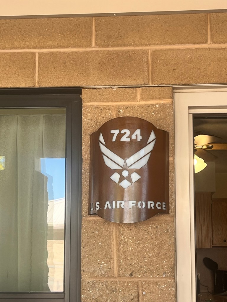
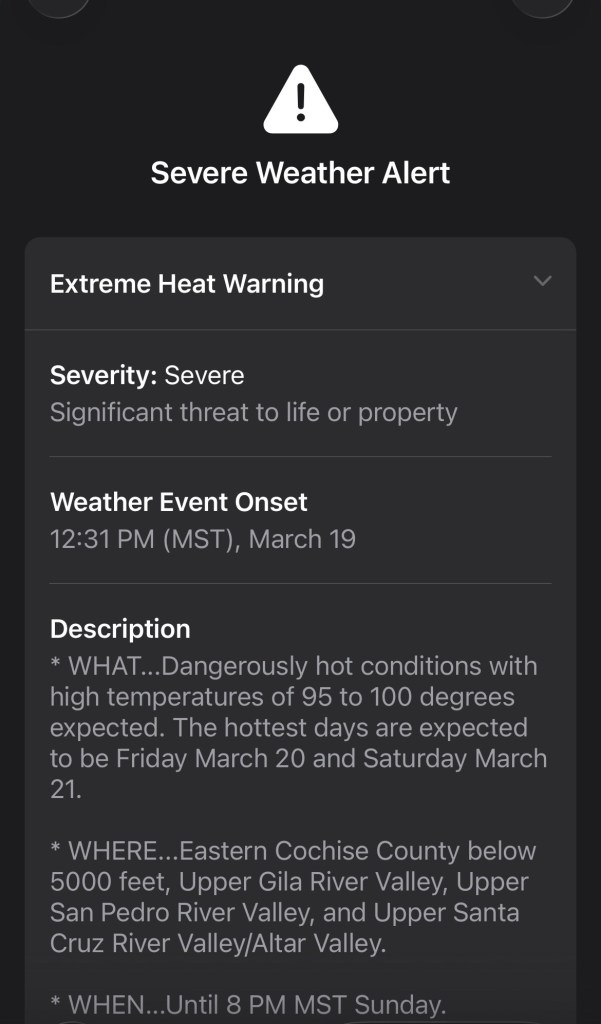
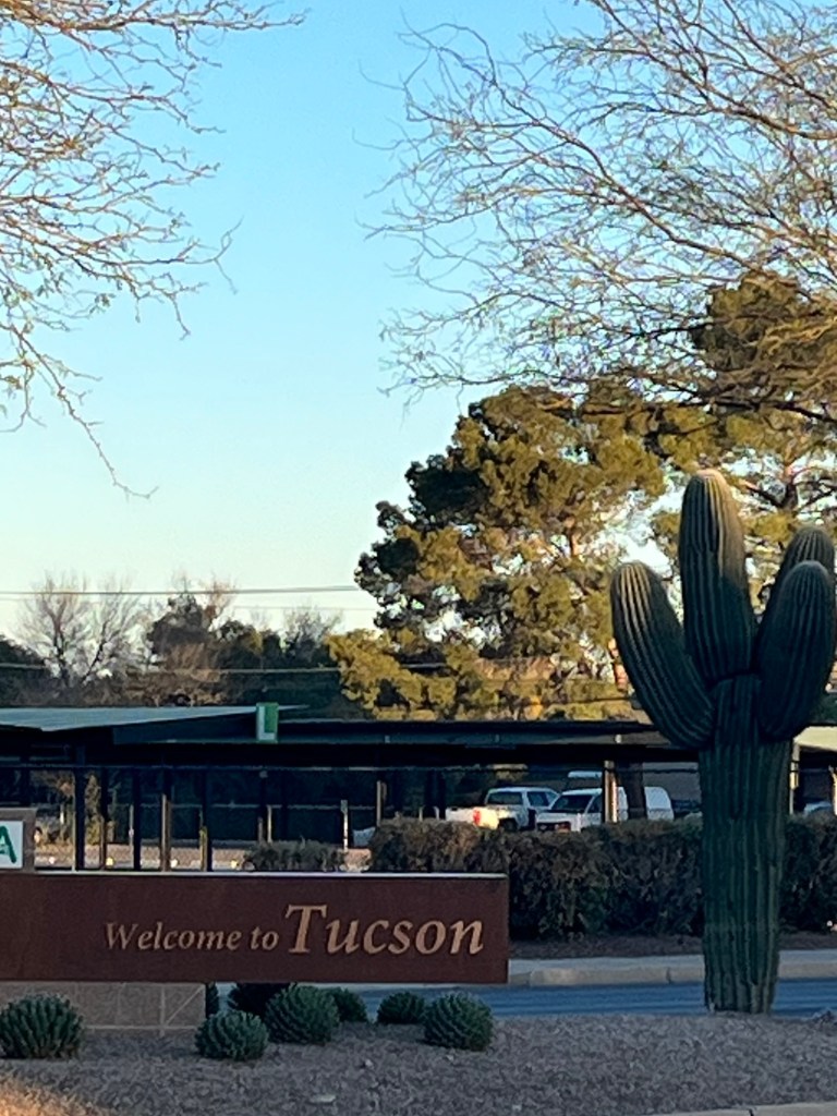
So we got off trail in Colossal Cave because of the “historical record-breaking heatwave” and took an Uber to Tucson. We stayed at Davis-Monthan Airforce Base overnight and took a 3-1/2 hour Uber ride on the 26th to Pine, AZ. We did our grocery shopping for our 6-day section (we arrived in Pine before our resupply boxes 🤦♀️), ate at a great little pub and arranged our shuttle to the trailhead for the morning.
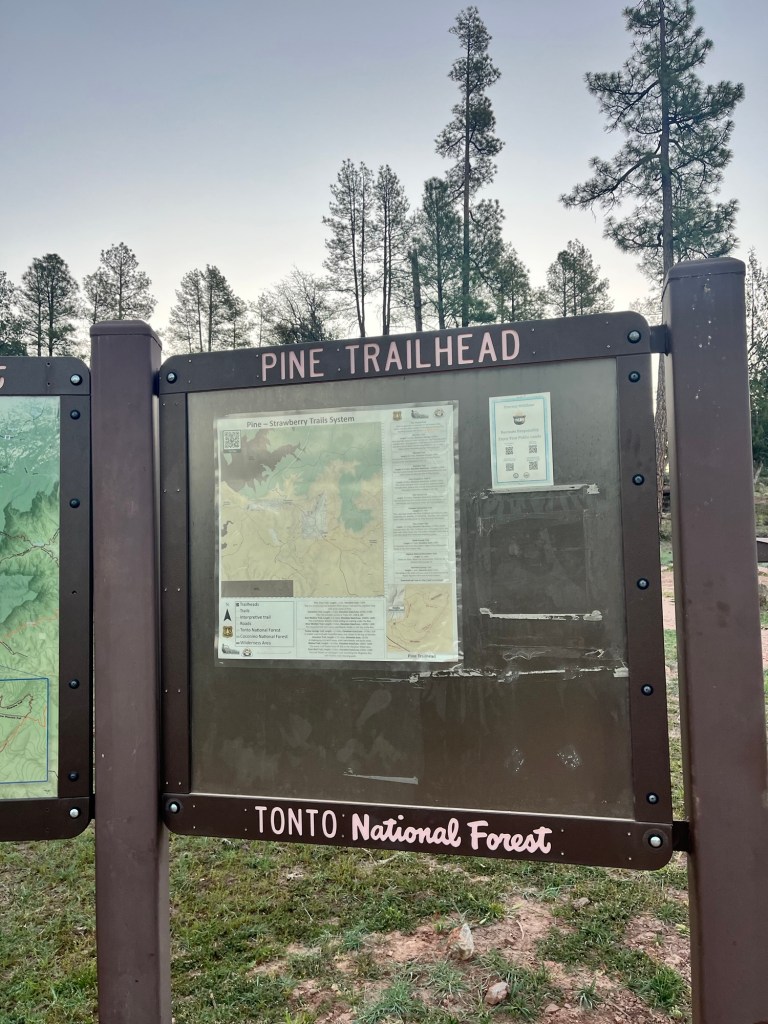
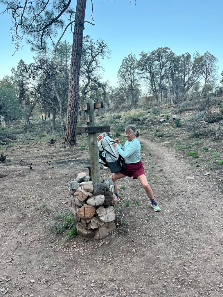
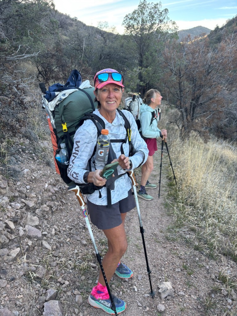
Cindy, from Beeline Guesthouse shuttled us to the trail at 6:30 am Friday.
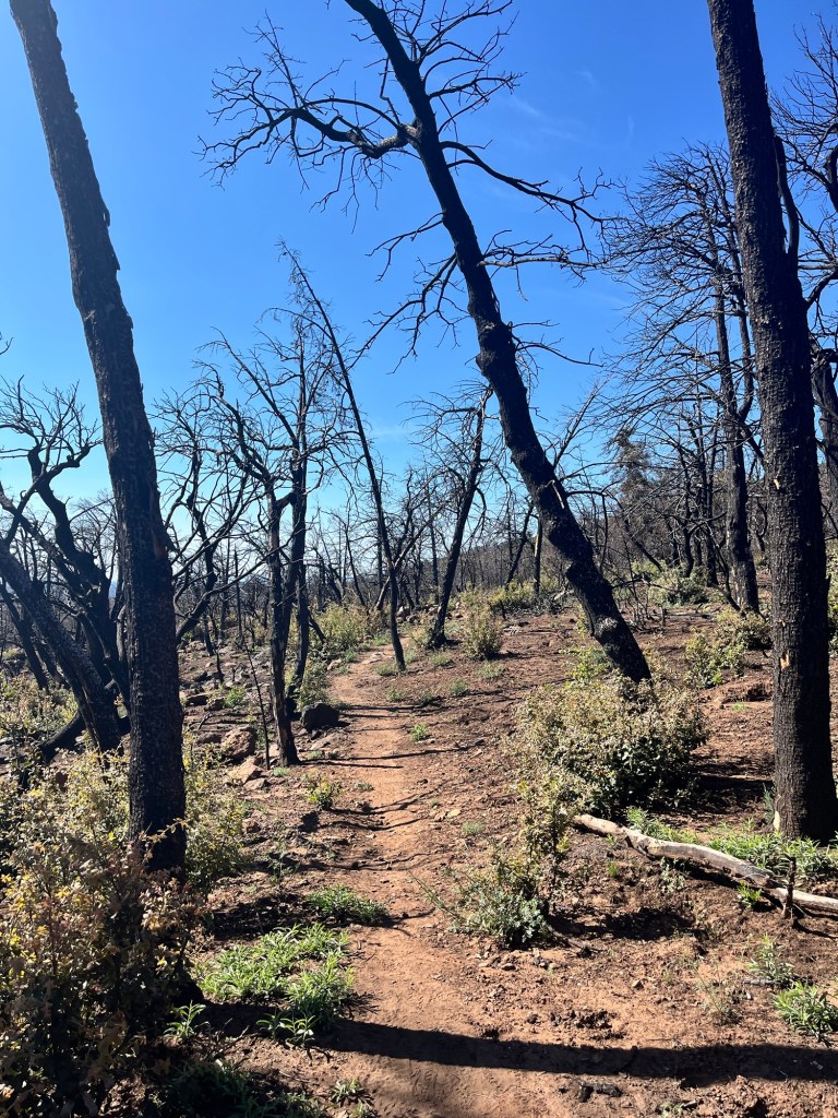
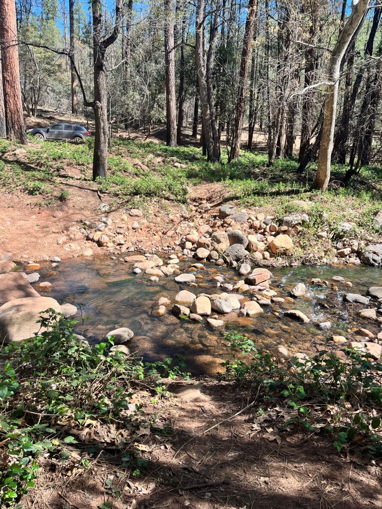
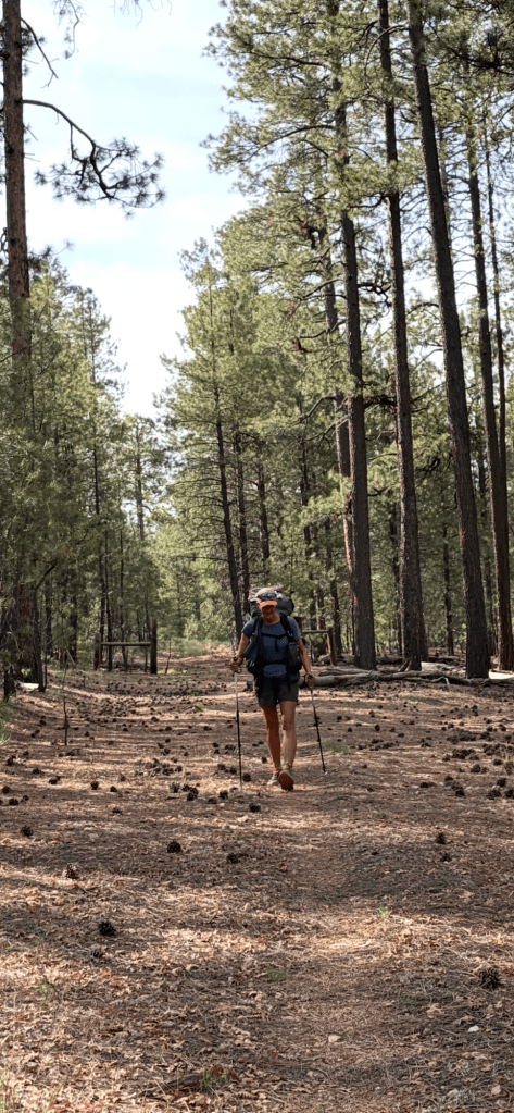
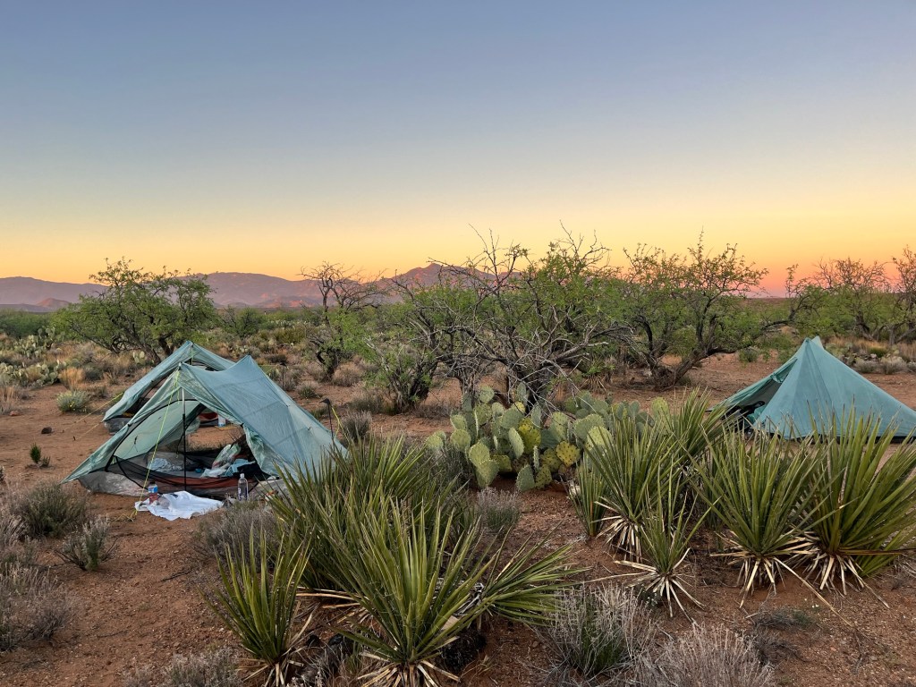
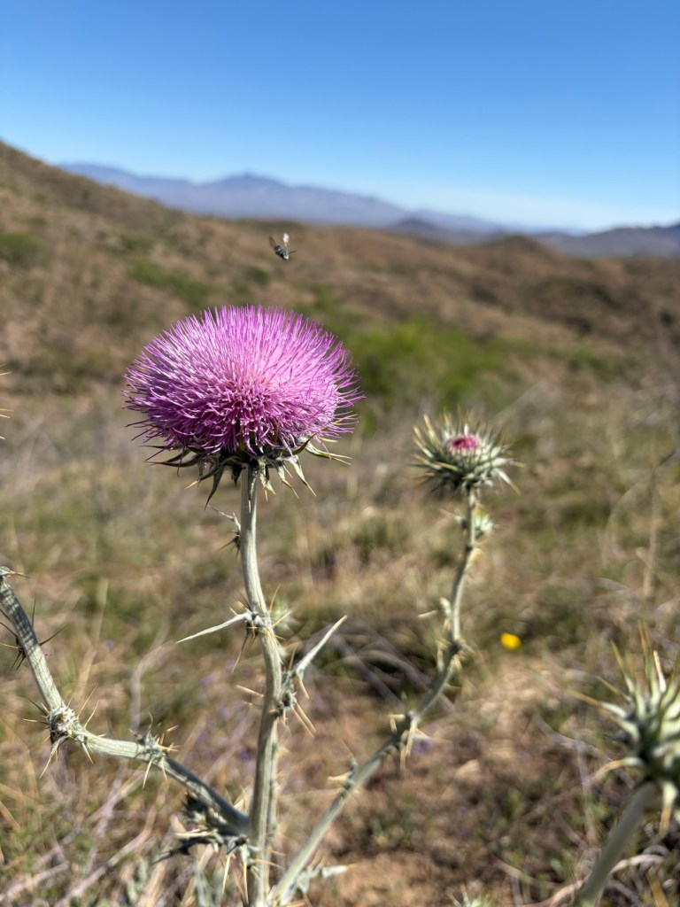
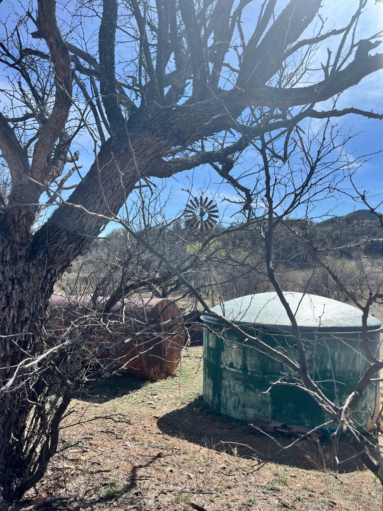
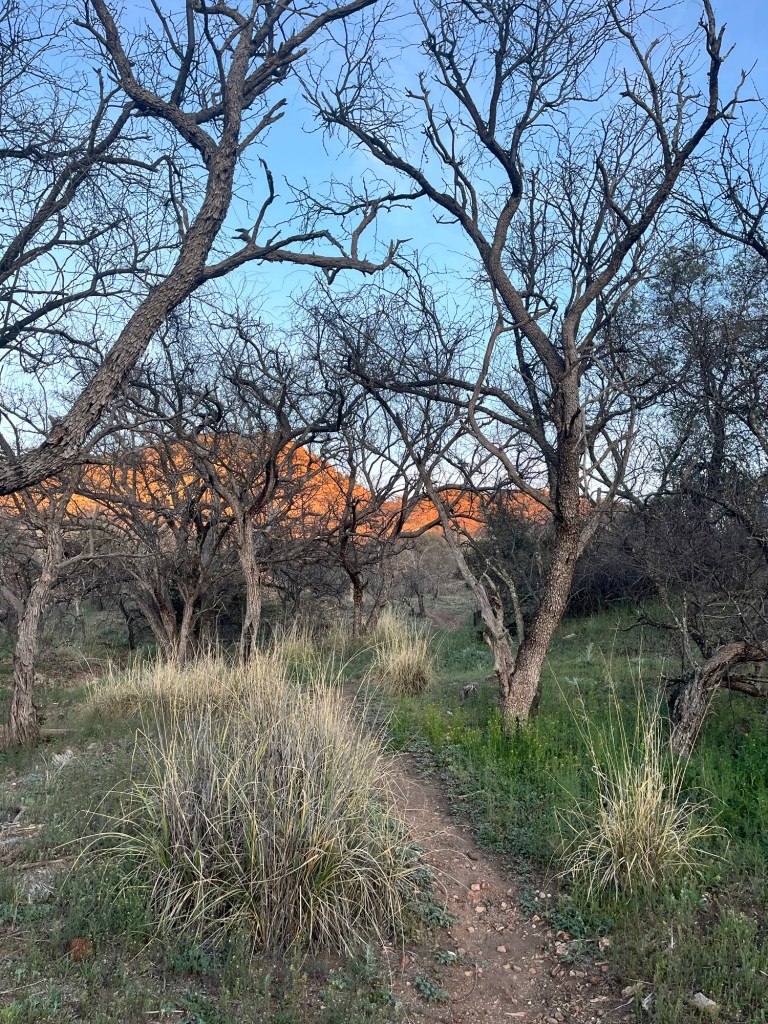
We hit trail and oh my goodness what a difference 10 degrees, shade and occasional cool water made. We felt like we were flying. We covered 22.3 miles the first day. We had a couple climbs but otherwise the terrain was mostly small PUDS (pointless ups and downs). We even got to set up camp by the East Verde River. Cool water to drink, bathe in, and even wash clothes in. What a treat!!!!! We were loving trail life finally!!!!
We all had a good nights rest and were up and back at it by 6:15am on Saturday. We were moving well and feeling great. We had a long water carry which made for heavy packs but we weren’t complaining. We hiked 18.5 miles and called it an early day to camp between water sources because the next day was gonna be another heavy water carry and we needed to make at least another 18-19 miles to get to Flagstaff within our allotted 6 days.
During the evening, Assassin got a message through her Garmin In Reach (satellite device) that her mother was ill and was not expected to live. 😢 Devastating news. We were within a mile of a ranger station off trail so we made a plan to hike out Sunday morning to the ranger station and get off trail. We got up Sunday morning and hiked to the ranger station which was closed but fortunately we had 1 bar with Verizon at the ranger station so we tried Uber to get us to anywhere we might could get a rental car. To no avail. We tried 2 trail angel contacts. To no avail. Two hours later we finally got a shuttler, Vince, to pick us up and drive us 2 hours to Phoenix where we will all catch flights out tomorrow morning to our respective states…GA, PA, and TX.
We’ve done so much planning together and this was meant to be a group hike so Maverick and I chose to help Assassin get home to her family and we all decided we would try to give it another go next year and hope for better circumstances.
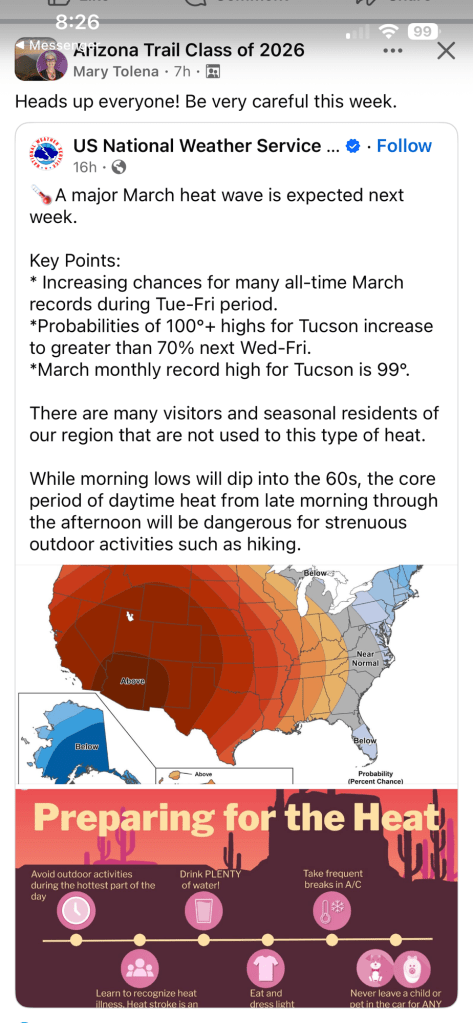
It seems this hike wasn’t meant to be from the get go. The heat, the logistical nightmare of jumping ahead and missing our resupply boxes we’d mailed ahead, the new info that the Grand Canyon park north rim road isn’t opening until May 15th (we knew the North Rim may not be open, but the road closure cut another 50ish miles), is just too complicated and costly and now Assassin’s news feels like we need to shoot for another time.
It’s disappointing not to finish what we started, but it is what it is and there are many other adventures to explore in the meantime.
I love the rugged, raw beauty of the wilderness. I love a challenge. The bigger the challenge, the more thrilling and memorable an experience is. Witnessing unknown sites can’t truly be captured in photos or tales. Seeing, touching, hearing, feeling nature no matter the weather or circumstances always does something good for the soul. No… we didn’t complete our goal, but the trail isn’t going anywhere and in my mind it’s just a good excuse to return again.
Thanks for following along even though it was short and not quite the hike it was planned to be.

🥵🥵🥵
March 22-March 25
Patagonia to Colossal Cave
Miles hiked in 3.5 days: 65
Total miles hiked 117.5
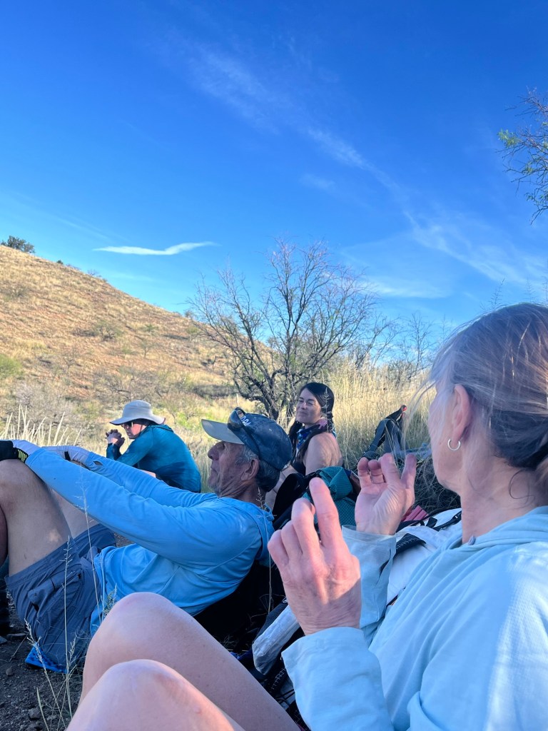
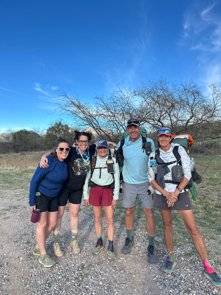
One of my hiking partners. Assassin, had 2 of her young friends join us to hike out of Patagonia a day and night and then head back to their car the next morning. They were a ton of fun and were very competent hikers.
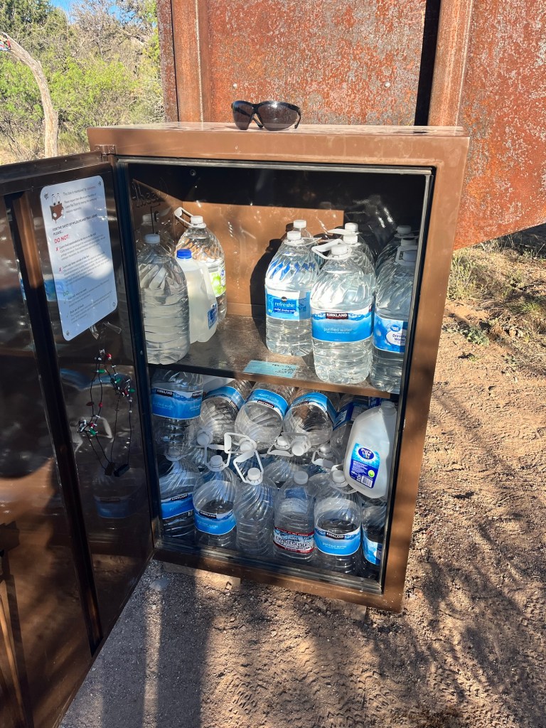
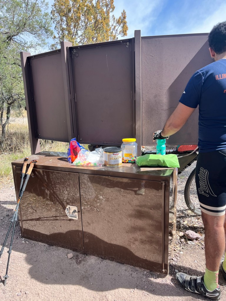
We trudged ahead out of Patagonia doing 18.8 miles the first day, 16.1 (+3 that don’t count due to a trail re-route) , 19.1 Tuesday and 11 today into Colossal Cave. We didn’t want to do that much mileage each day in the heat, but there wasn’t a choice because we had to get to water. Most things are dried up. We had to depend on what’s called water cache’s which is a box near a trailhead or forest service road that people (trail angels) have put water in for hikers. Thank goodness for these amazing, kind people. The only problem with the water caches are that they are few and far between and you can’t count on them being stocked.
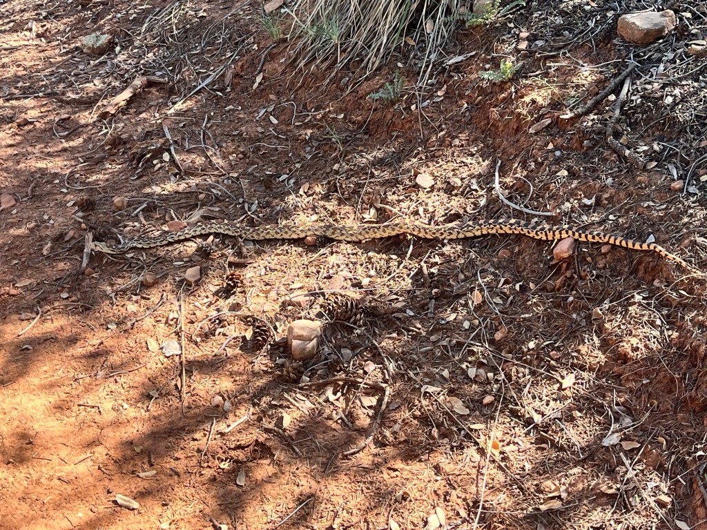
There is absolutely no way I can tell you how hot and dry it is out here. The weather was suppose to cool off but apparently the heat wave made a U-turn and came right back supposedly as a “heat dome “?? Even the rattlesnakes are hiding somewhere in the shade that only they know about. I’m not gonna bore you with the woes of the heat though. 🤦♀️
We’ve made a new plan.
We’re going to jump up to Pine, AZ (further north) and hike the last 400ish miles and then flip back to Pine and hike back to Colossal Cave. Gotta be flexible, but most importantly safe.
Moving on Down the Road
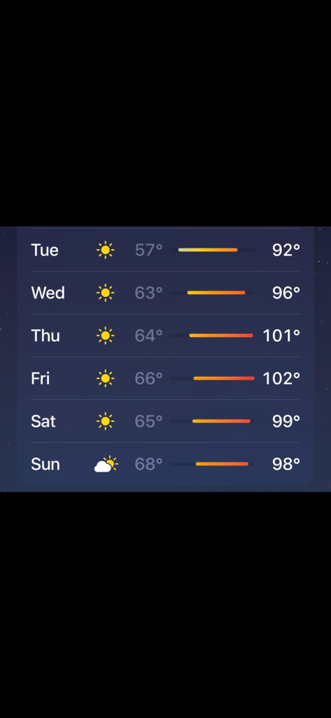
It’s time!! Gotta get moving. Heading out this morning. Temps are suppose to be back down in the low 90’s which we think and hope is at an acceptable risk level, so no more sitting around. We’ve got ground to make up. We’ll probably be inching through, but hoping to adjust to the heat and breeze through Colossal Cave in 4-4 1/2 days and on to Oracle in another 4ish days from there. The plan is to take a zero day in Oracle in 8-9 days.
I’ll stay in touch as service allows!!
Is She Mad At Me? 🤷♀️
Well…..Mother Nature has it in for me I guess. 🤪. Seems wherever I go, I bring some kind of record cold, heat, rain or even a bomb cyclone!! Went to California last year and within an hour of getting there, a bomb cyclone hit and we were without power for 3 days. Went to south Florida last month to leave the cold in GA and it snowed in south Florida and we had freezing temps for several days. Came to AZ before summer to hike before the heat and brought a severe heat wave in March. Guess all I can do is laugh about it, but what the heck??? 🤦♀️🤷♀️
Anyway, I can’t really complain because every time I’ve returned home safe and sound and still had an enjoyable time even though the weather didn’t cooperate. This time will be no different, I hope.
Our original plan has changed a bit because of the heat wave and water situation. We’ve decided to stay in Patagonia during the worst of it and hopefully hit trail again on Sunday morning before sun up and hike before the sun gets too hot. Maybe from 4 am to 8:30ish and then literally prop under our sun umbrellas all day until the sun starts to set and then hike another 3 hours or so into the night. We’ll see how that works. This will cut into our projected daily mileage obviously, so we’ll see how it goes. We’re suppose to get from Patagonia to Colossal Cave in 4.5 days but…..
Patagonia is a sweet little trail town. People are super friendly here. There isn’t really much to do, but it has everything we need.
We’ve moved from the hostel campground to a little hotel downtown that has some AC. 🪭❄️ The campground was super nice, but even in the shade it provided you couldn’t stay cool.
Since I don’t have any trail news or pics to share, here’s a very short video of a few pics of the little town of Patagonia. These pics are pretty much the whole town. 😊
Btw, while here I’ll have phone service so feel free to text or call. (I have pretty much nothing else to do.) 🥱
Geez Louise — It’s An Oven Out Here
March 14-17
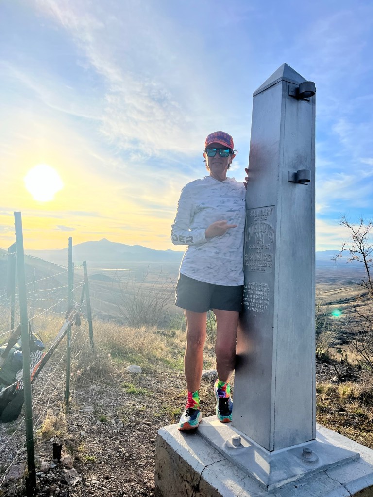
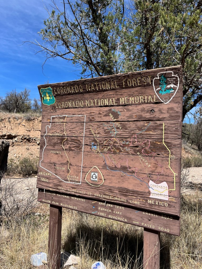
-Border of Mexico to Patagonia, AZ
-Miles hiked: 52.5 miles in 3.5 days
-Total miles hiked: 52.5 + 1.8 off trail
Taking a nero and maybe a zero in Patagonia (means only hiking part of the day)
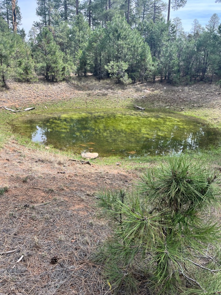
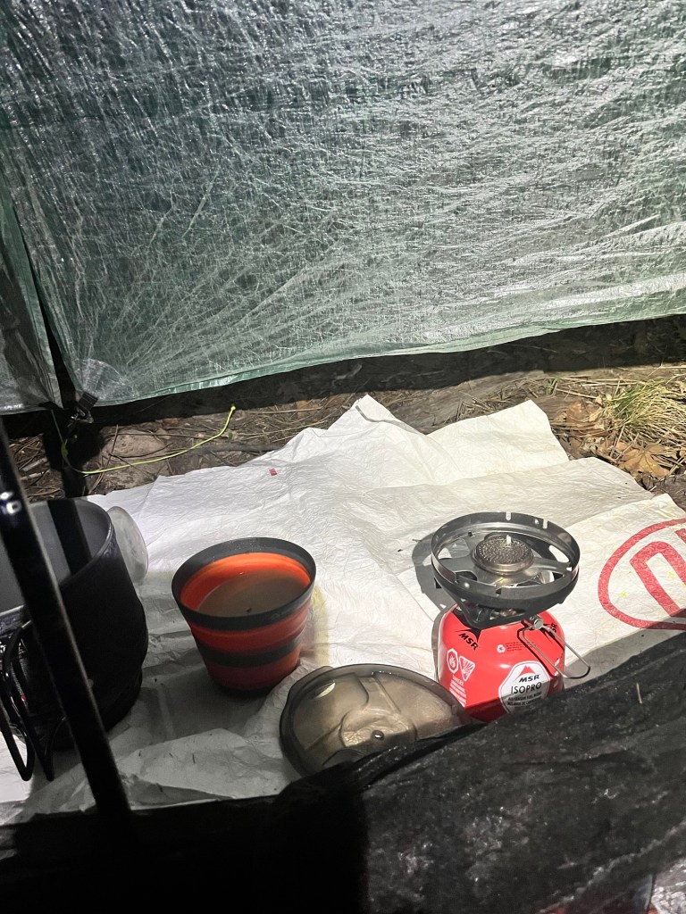
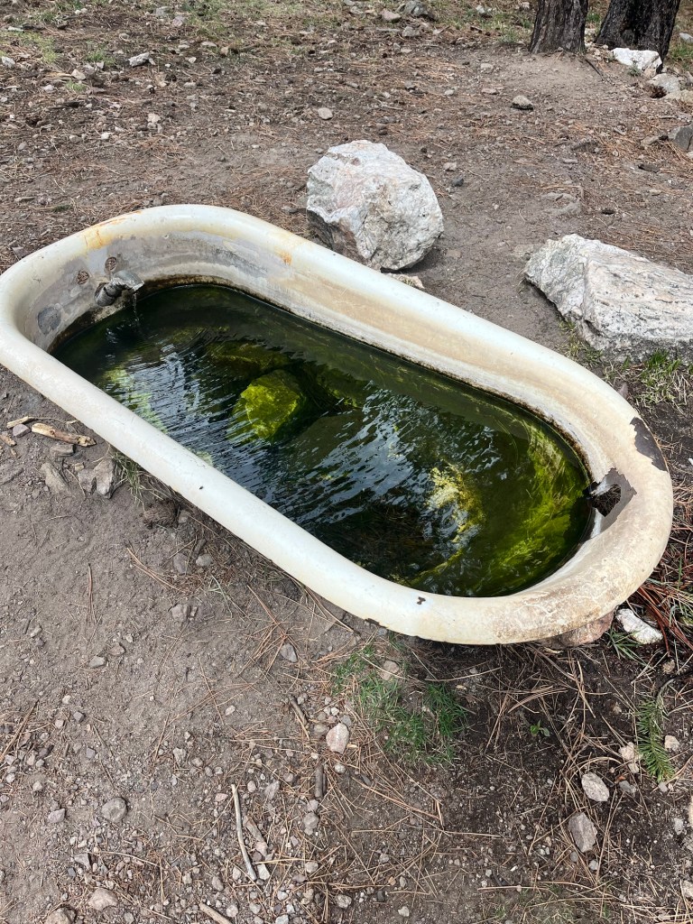
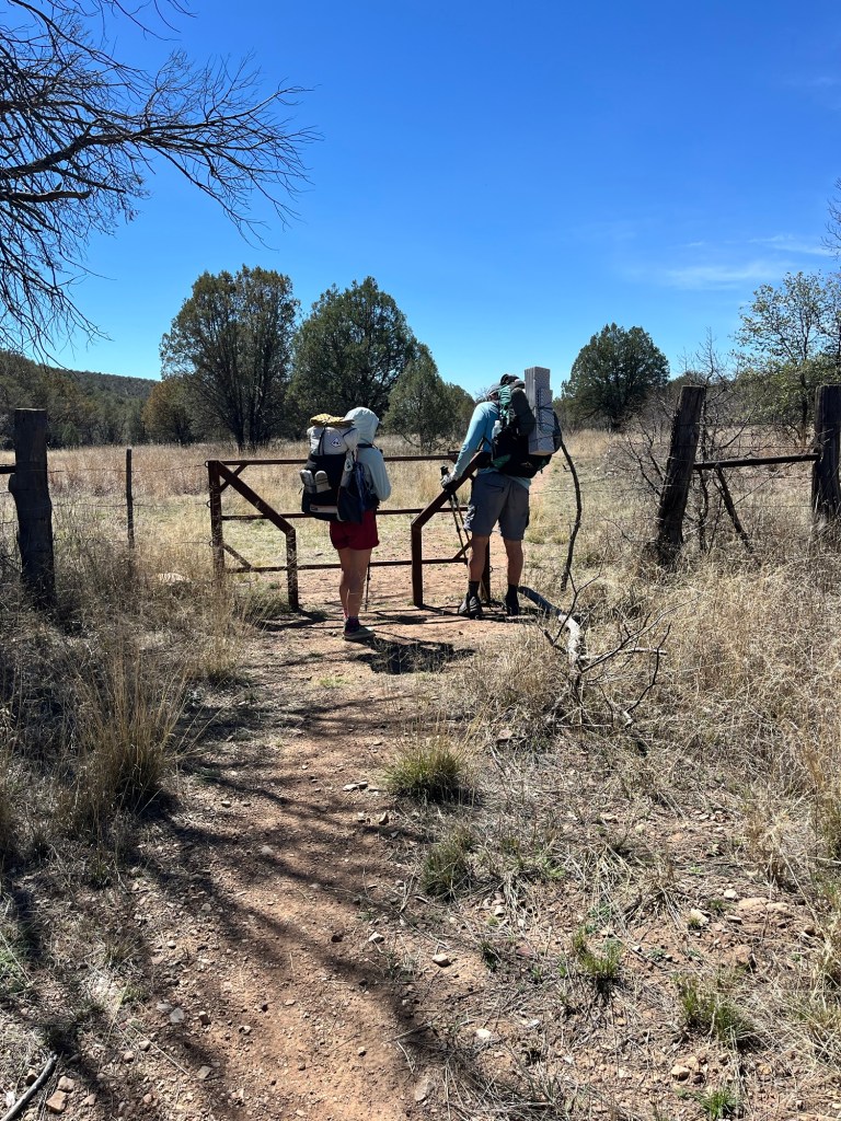
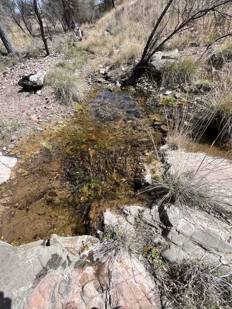
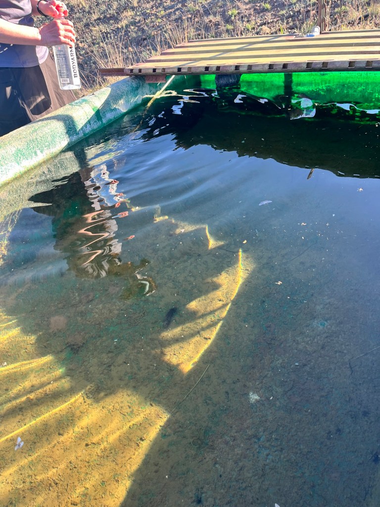
This trail is brutal. I’d dare say the first day of this trail was the hardest 1st day of any trail I’ve done. Right off the bat we had a 6 mile relentless 3,200 ft. climb to 9,090 ft. After about a week or two that would still be hard, but day 1 it was super duper hard. We made it though and then had a 2 mile straight down which is also difficult on the feet and knees. Our water source was a bath tub with a pipe. As you can see in the pic….not too appealing, but…it filtered well and tasted delicious.
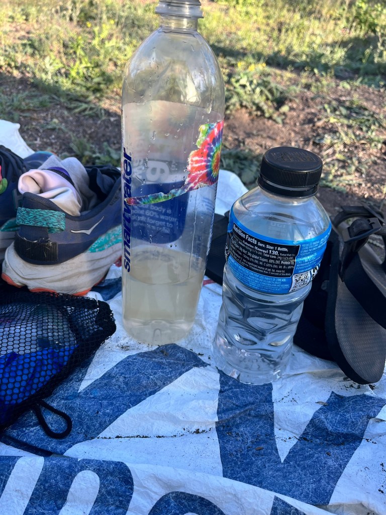
The second day we hiked 18.6 miles in 88 degree heat. The water sources are few and far between. Most are dried up. We had to carry 3-1/2 liters each ( which weighs 7 lbs.) the last 4-1/2 miles with 2 difficult climbs in those last miles to dry camp.
We head out every morning about 6:30 and have been hiking 9-10 hours a day. Our pace is painfully slow because of the rocky terrain, the heat, the altitude and the lack of water.
Day 3 we were up and out by 6:30 and hiked 15.9 miles. We had to take several breaks in the 90 degree heat. Our water source today was a nasty cow trough.
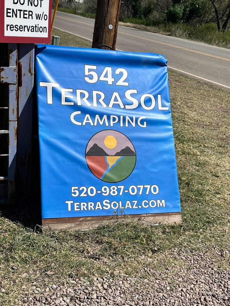
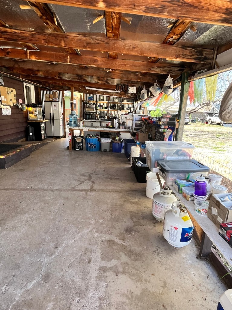
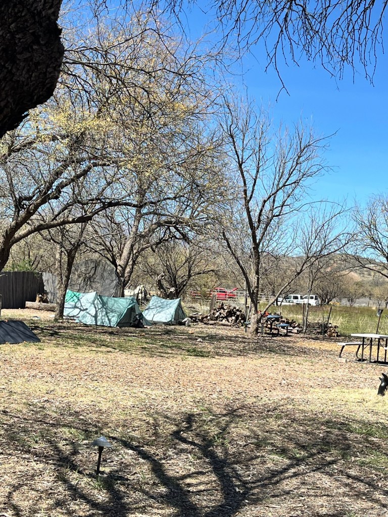
Today, Day 4, we had 10 miles to hike to Terra Sol Campround where we’ll set up camp. We got in about 11:30 am. It’s like a hostel with outside kitchen, shower and camp spots. It’s hot, but a lovely place!!
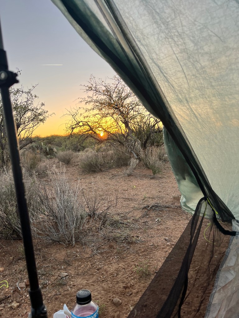
I’m not loving my new tent. I love the weight (1.3 lbs) but it’s a challenge to set up. Guess I’ll get the hang of it eventually.
I carried too much food. My pack weighs waaaay too much! 🥵 Later, hiker hunger will hit, but now with the heat I’m not too hungry.
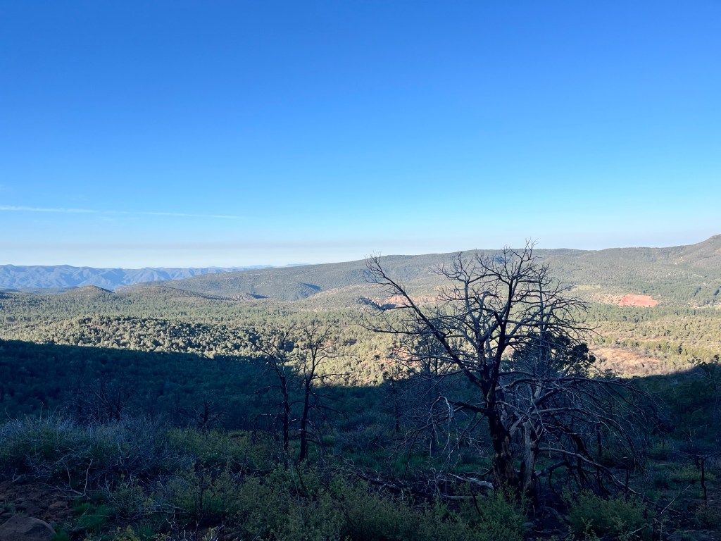
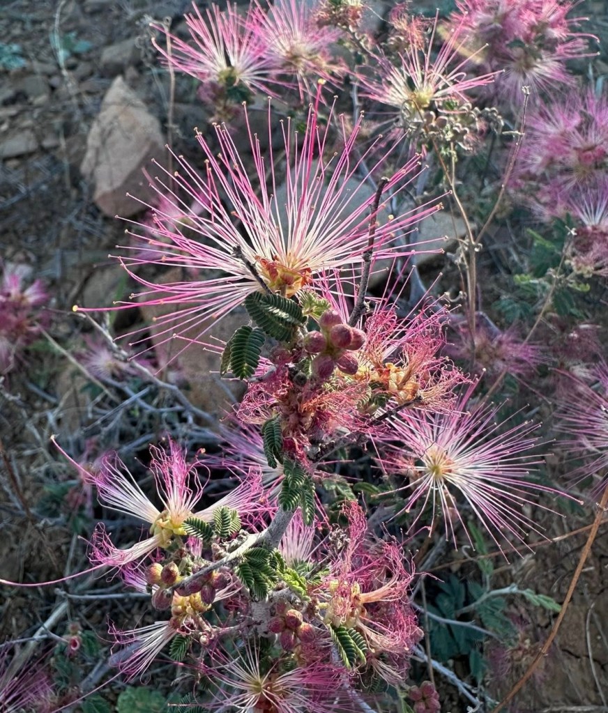
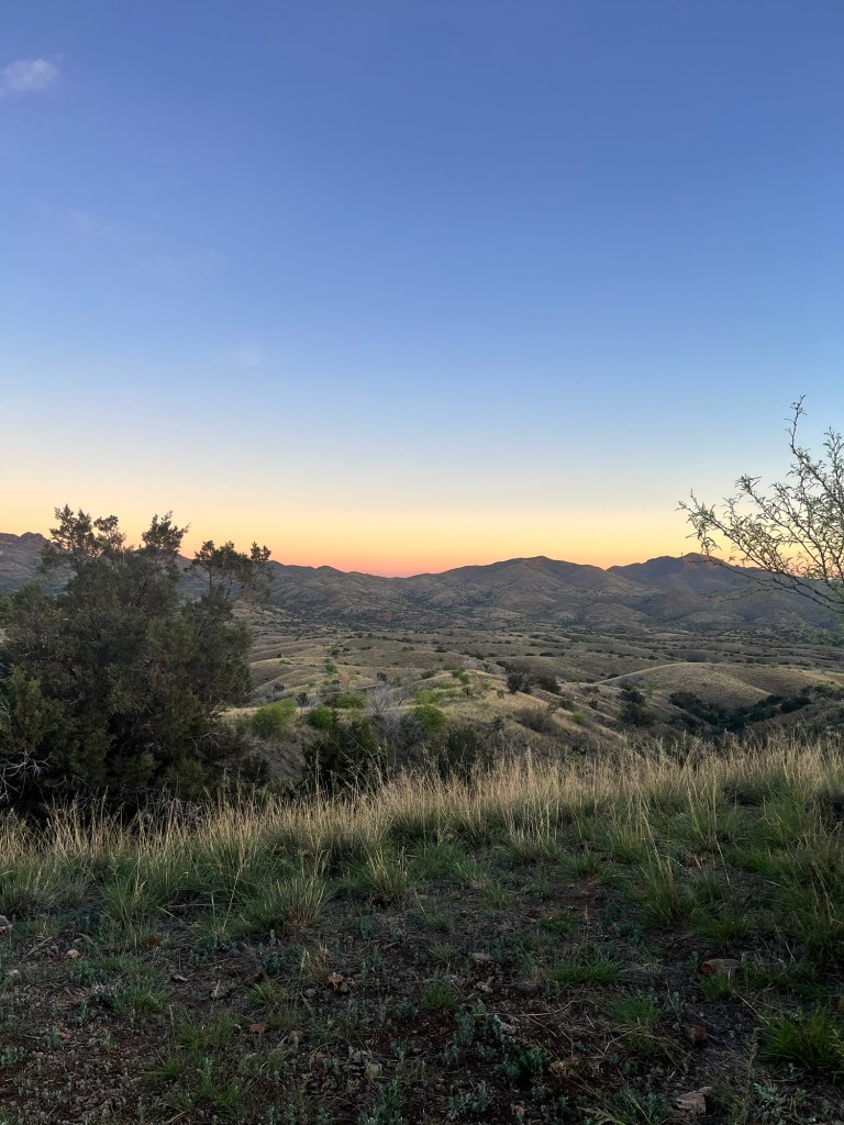
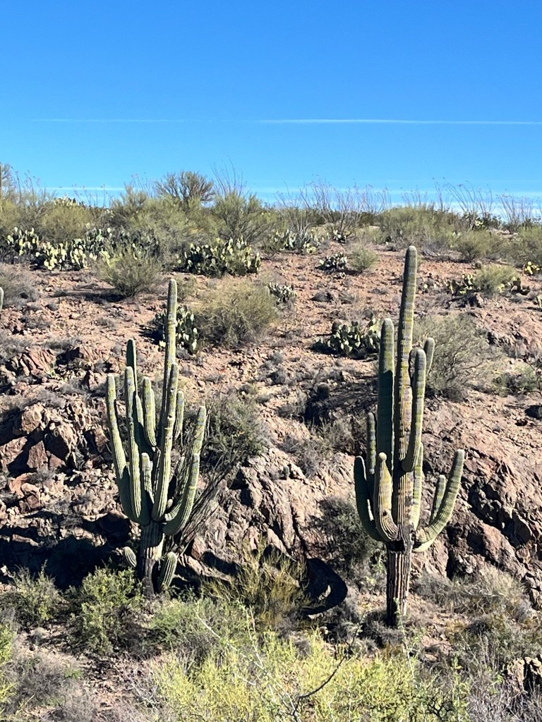
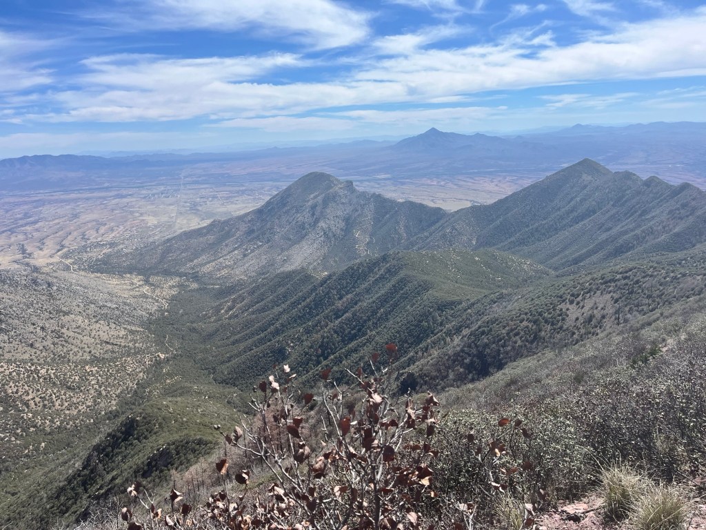
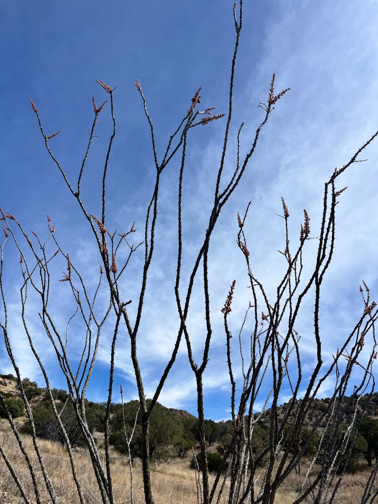
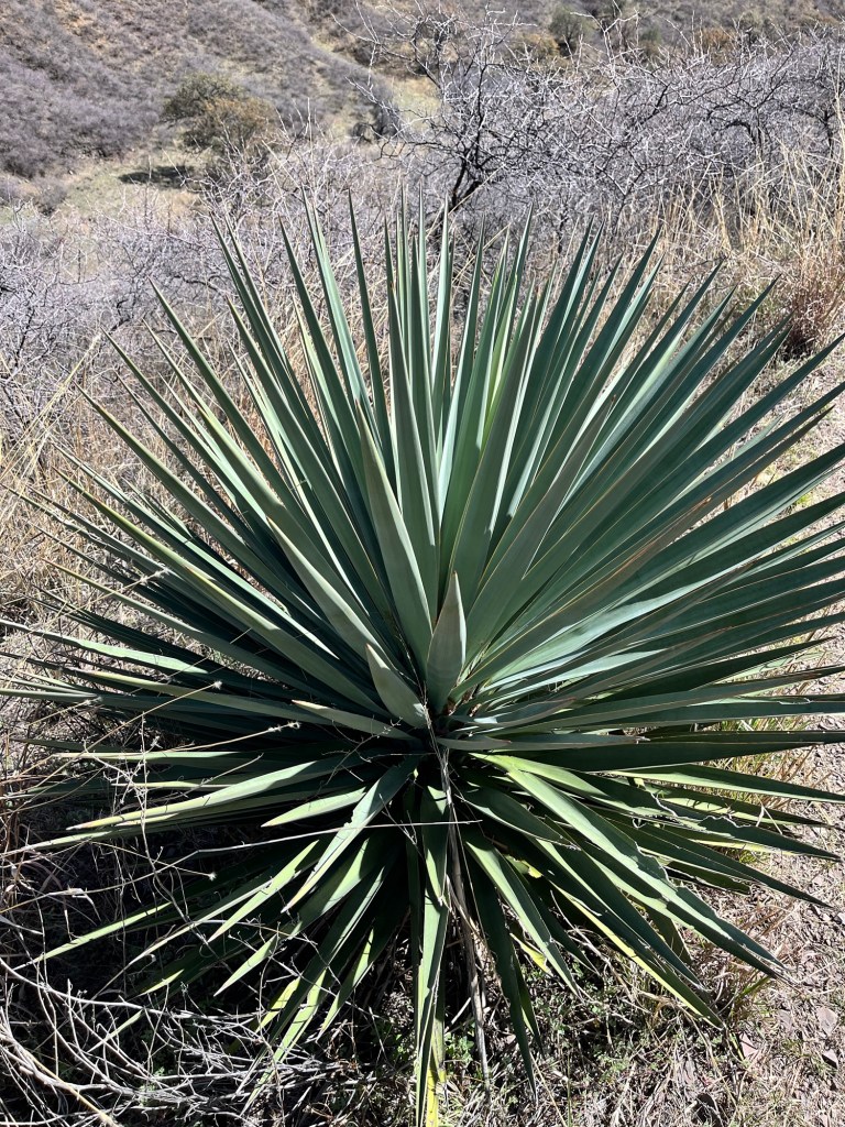
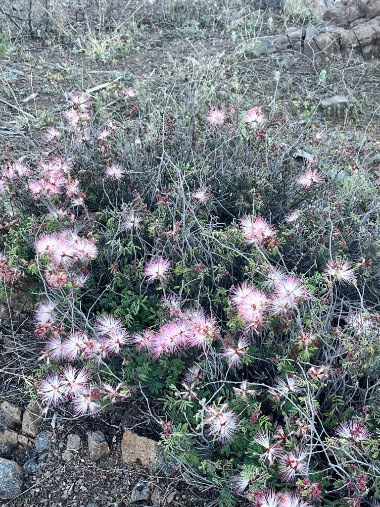
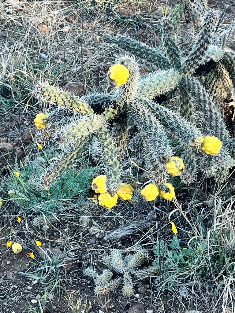
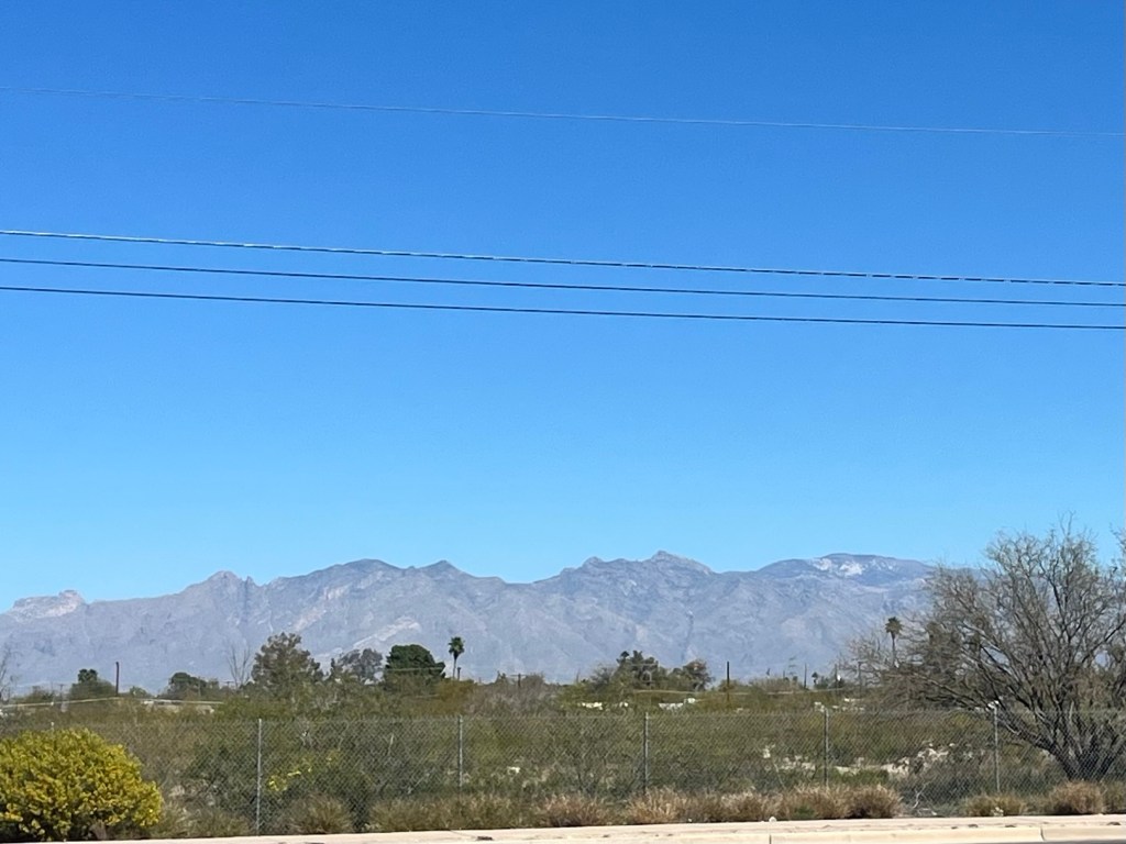
Even though this is tough, the desert is just a different kind of beautiful than I’m use to. I love it out here.
We’ve met a father and son doing an overnight hike and 2 guys from London planning to go the whole way. Also a mountain biker doing a 6 day loop. That’s about it so far.
Gotta make a plan for later in the week as temps are supposed to get to 104 degrees. Already at 90, our water is tepid and there’s no way to cool down. We may have to hike in the dark early morning and late evening. We shall see.


Made it to Tucson
March 12
Not much to share about this travel day.
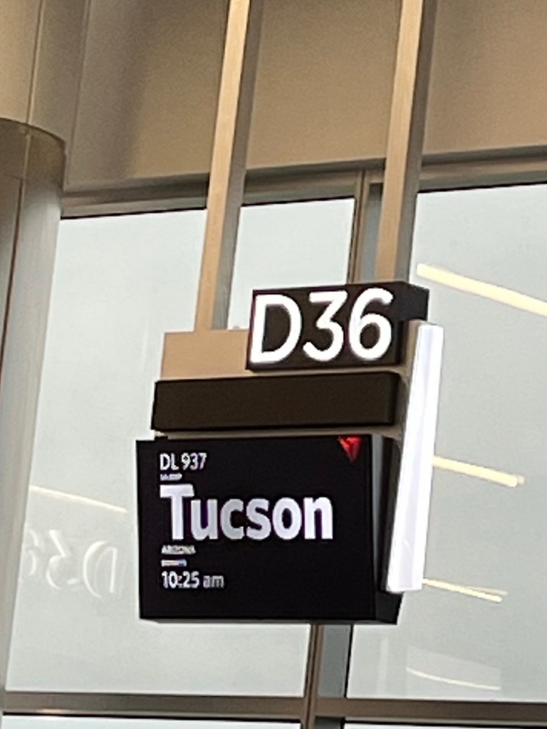
Left Atlanta at 10:50 am on Delta flight to Tucson. Long TSA line to get through security, but pretty uneventful getting to and out of Atlanta airport.
Arrived in Tucson and took the shuttle to the hotel. The 3 hour time difference takes a minute to adjust to. I was ready for dinner at 3 pm Tucson time without having had lunch. 😳😳. Maverick and Assassin arrived about and hour and a half after me. We all relaxed in our rooms until about 4:00 pm (7:00 our time) and then walked next door to have dinner. Enjoyed dinner together and then turned in to our rooms around 6:30.
March 13
Met downstairs for breakfast at 6 am and made our plan for the day.
First we walked 3.2 miles to and from Walmart to buy a couple last minute items, including a box for us to mail our duffle bags and clean clothes to Kanab (our end point).
Second we walked another 3.1 miles to the Post Office to mail our box. Got back and got our backpacks packed up and ready to go. By 2 pm we were twiddling our thumbs. So anxious. Ready to get going. **(Funny how hikers have trouble paying Ubers cause if we’re about to walk 800 miles, surely we can walk 6 or 7 to do our chores…right??? 🙄)
Our shuttler picks us up at 4 am tomorrow for a 2-21/2 hour drive to the trailhead. Then we will hike down the trail 1.8 miles to the start of the trail (which doesn’t count in trail miles 🤦♀️) and then officially start our hike.
It’s H-O-T here. This week is supposedly gonna be a record hot week in Tucson. Yippee!!! 🥵 It’s definitely going to be a different kind of hike for me with the heat and limited water sources, but…..READY TO ROCK AND ROLL!!🤘
Time To Go
Answer Me This

Just jumping on here to answer a few questions I’ve been asked lately.
•Are you hiking alone?
No. I will not be hiking alone. I was invited to do this trail with Maverick (a friend I met hiking in CO several years back) and Assassin (a friend of Maverick’s that I haven’t met yet).
•Are you carrying a gun?
No. I do not carry a weapon. It’s really just added weight and I think unnecessary. Yes, it might come in handy, but the chances of needing it are highly unlikely.
•How many miles a day are you hiking?
Mileage each day will mostly depend on water source locations. As of now, the plan is to hike anywhere from 15-20 miles a day (maybe a few shorter and maybe a few longer.)
•How do you get your food?
We will be resupplying in small trail towns along the way. They are Patagonia, Colossal Cave, Oracle, Roosevelt Lake, Flagstaff, and Grand Canyon Village. I’m sending boxes ahead to most places to be picked up so I don’t have to grocery shop when I get to town.
•How long will it take you?
The trail is right at 800 miles. We will meet in Tucson on Thursday, March 12 and hit trail on Saturday, March 14. We have 3 “zero” days planned (no hiking). We may add one or two more depending on weather and fatigue. We estimate being finished by May 6, but will not make flight plans until the last week or so of hiking.
•Will you have cell service?
I will be carrying a Garmin In Reach which is a satellite device. I can usually receive texts even though they may be delayed at times. I would need to add you as a contact to my Garmin so just let me know if you might be reaching out and I will do that. I will not have phone service most of the time but can check for messages and will be posting updates when I get to towns for resupplies. Would love to hear from any and everyone occasionally through Garmin, phone or this site.
•Are you afraid?
I wouldn’t say afraid. I’m nervous, but mostly excited!! The nerves are usually about whether I can physically do it. I love backpacking and getting to see sites that can only be seen by trekking on foot. I’ll definitely have challenges, but I’m not afraid.
T-Minus 6 Weeks
The countdown begins. T minus 6 weeks. I need to be training but I’ll be in flatland Florida for the next 4 weeks, so…. it will be what it will be. 😳
Planning resupplies is quite a chore. Imagine having to plan 40-50 breakfasts, 40-50 lunches, 40-50 dinners and hundreds of snacks 6 -7 weeks ahead of time. Ugh…..arduous!! But, it must be done.
This time I dehydrated all of my dinners. Hopefully I will look forward to a “home cooked” meal each evening that will taste good. This was quite a chore but I think it will help with keeping weight on and energy up. It’s a struggle to find store bought food light enough and nutritious that you enjoy and don’t have to choke down.
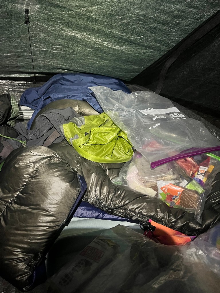
I’ve started and am almost done packing 6 boxes of food to be mailed to trail towns ahead of myself. Here is an example of a typical resupply box contents. This will last me 7 days.
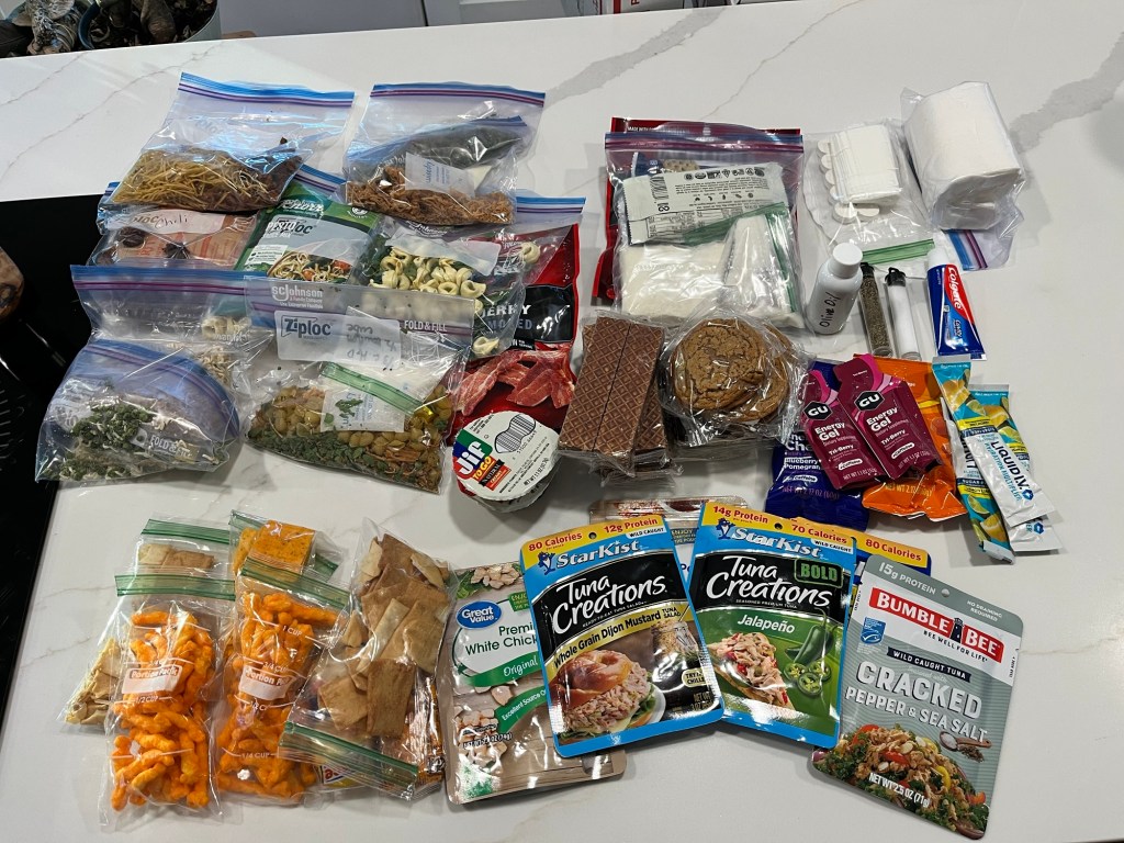
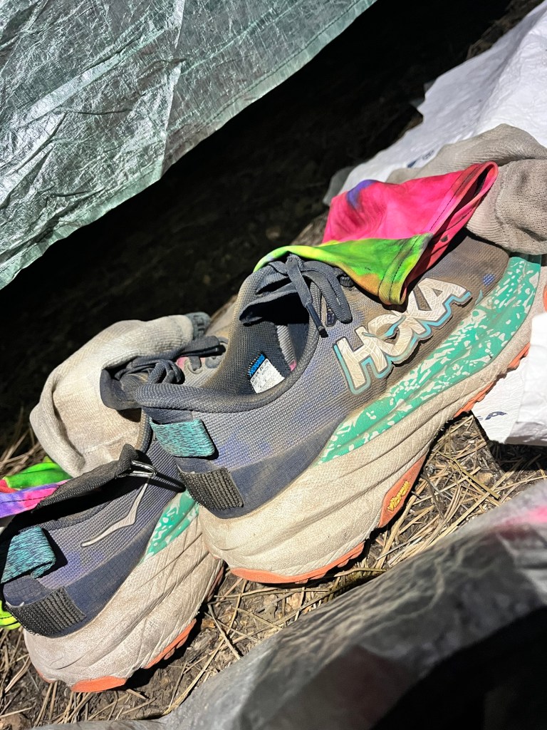
For the box I’ll send to Pine, AZ (a little more than halfway), I will include a new pair of shoes, a fresh pair of socks, a new water filter and maybe one or two other fresh clothing items. The old ones will be trashed (because after 400 miles in the same clothes everyday no amount of laundry detergent can get rid of the stench)! 🤷♀️
The 6 boxes will supply me for about 600 miles. For the final 200 miles I’ll buy groceries in town instead of sending a box. Flaggstaff and the Grand Canyon South Rim should have some decent items to choose from.
I will finalize this process and mail the first box about 5 days before I leave. It should be waiting for me at Terra Sol campground in Patagonia, AZ by the time I arrive there which I estimate to be about the 17th of March. The other boxes will be mailed a day or two before I leave home since it will be a little later before I get to those destinations on the trail.
I prefer sending my own items ahead for a couple of reasons. One is that when you arrive in town you don’t have to spend precious time grocery shopping and repackaging things to save weight and space—-it’s already done. I’d much rather use that time to shower and maybe get laundry done if there’s time and a place. Another is the selection in most small trails is very limited. Some only have gas stations or Dollar Stores for resupplies so I usually end up with a ton of junk food, which is good, but not very nutritious.
I always look forward to getting to towns for a resupply, shower and a hot town meal. I think the only drawback I can think of about going to town for a resupply is that you’ve lightened your load having eaten most all of your food by the time you get there so leaving town with a full pack again is heavy and cumbersome and “most” trail towns are in valleys so there’s usually a climb staring you in the face as you head back out on trail with a full pack.
If you haven’t read waaaay back in this blog, my friend Karen named my pack “Olfrie”, short for Old Friend. I have a love/hate relationship with Olfrie. She safely holds “EVERYTHING” I need to live on trail, but she’s fat, heavy, bulky, hot and weighs me down. I couldn’t do it without her though, so she must come along and I must accept her presence. 🤩 If only she could talk. 😂😂😂
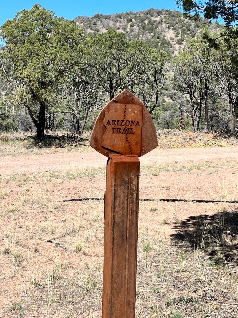
And now, on to the Arizona Trail

Gearing up to hit the Arizona Trail, also known as the AZT, in March, 2026.
The AZT is approximately 800 miles with the southern terminus at the Mexico/Arizona border and the northern terminus at the Arizona/Utah border. I will be hiking from south to north, so NOBO in trail terms. The plan is to take 8ish weeks to complete the hike. I’ll be hiking through the Grand Canyon again on this trail from South Rim to North Rim.
I’m excited to have it scheduled. Now to get in shape and prepare all my gear and food.
I’ll be purchasing a new tent since my old one is basically worn out after the Colorado Trail last year. It was a good one, but I’ve simply worn it out. I have a few new items to get so I hope to do a “shakedown” hike maybe sometime in December to test everything.
The elevation map is interesting considering this hike is mostly desert.
I’ll share more once the start date approaches.

Recent Comments